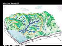
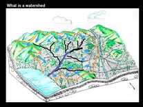
What is a watershed?
A. A watershed is basically a drainage area. In other words, when it rains, the rain follows the terrain, flowing down over the surface to a central low point – a river, creek, lake, or bay. The watershed is the entire area that drains water to that low point.
Watershed boundaries are usually identified by their high points. Often the watershed begins in mountains, or hills. It doesn’t matter if the land is all-natural, all-urbanized, or a mix – it is still a watershed. Everywhere in the world there are distinct watersheds. Everywhere drains to somewhere.
Q. What are the Ballona Watershed boundaries?
Facts courtesy of Los Angeles http://www.ladpw.org/wmd/watershed/bc/
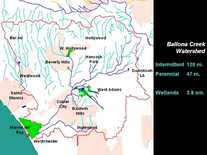
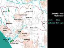
A. Top (north) of Ballona Watershed. The ridge line of the Santa Monica Mountains, from Sepulveda Canyon (Sepulveda Drive/405 Freeway) east of Silverlake marks the northern divide of the watershed. Mulholland Drive approximates much of this.


Bottom (south) of Ballona Watershed. The southern boundary includes parts of Inglewood (including the drainage area of Centinela Creek) and the Westchester Bluffs. The Ballona Creek Watershed, roughly 130 square miles in area, includes all of West Hollywood, all of Beverly Hills, nearly all of Culver City, some of Inglewood, the unincorporated portion LA County, a little of Santa Monica, and a large part of the Los Angeles basin.
The eastern end of the watershed includes McArthur Park and the Staples Center, but excludes the high rises of downtown LA. The western boundary is marked by a rise in the land between Santa Monica, Venice and parts of West Los Angeles down to the Pacific Ocean or the mouth of Ballona in Playa del Rey. The Ballona Watershed is 128 square miles.
The watershed is comprised of all or parts of the Cities of Beverly Hills, Culver City, Inglewood, Los Angeles, Santa Monica, West Hollywood, and unincorporated Los Angeles County. Watershed Size: 130 square miles. Supervisorial Districts: 2, 3, 4. Senate Districts: 21, 22, 23, 25, 26, 28. Assembly Districts: 42, 43, 45, 46, 47, 48, 51, 53
The Ballona Creek Watershed's land use consists of 64% residential, 8% commercial, 4% industrial, and 17% open space.
Photos History
Q. Where are the Ballona Wetlands, Ballona Creek Flood Control Channel, and Bike Path?
Facts courtesy of Los Angeles http://www.ladpw.org/wmd/watershed/bc/
Ballona Creek is a nine-mile long flood protection channel that drains the Los Angeles basin, from the Santa Monica Mountains (Mullholland Drive) on the north, the Harbor Freeway (110) on the east, and the Baldwin Hills on the south. The Ballona Creek Watershed totals about 130 square miles. Its land use consists of 64% residential, 8% commercial, 4% industrial, and 17% open space.
The major tributaries to the Ballona Creek include Centinela Creek, Sepulveda Canyon Channel, Benedict Canyon Channel, and numerous storm drains. Ballona Creek is designed to discharge to Santa Monica Bay approximately 71,400 cubic feet per second from a 50-year frequency storm event.
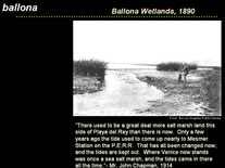
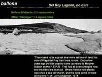
Ballona Creek in about 1900 Ballona Wetlands underwater in 1941


Ballona Wetlands before Bulldozing in 2003
looking toward Marina del Rey and the ocean..

Experts discuss Ballona Wetlands Proposed Restoration and their opposition to large scale proposed bulldozing, and much more. Protecting existing Habitat and Wildlife is critical for a "Do No Harm" outcome.
Stonebird / Beautiful Ballona Wildlife Pictures
Ballona/Playa del Rey's Most Comprehensive Wildlife Catalog
Courtesy of a Westchester Dad - Posted on July 23rd, 2010
 Jonathan Coffin started out with a borrowed Sony digital camera that used 3.5″ diskettes (remember those?) for storing images and over the last four years he has compiled the most comprehensive catalog of birds, bugs, mammals, lizards, and plants in the Ballona area.
Since then, Coffin has moved on to better devices to capture over 4,500 exquisite images of local species few of us knew existed in the area. His collection of pictures at www.flickr.com/photos/stonebird/ is truly a local treasure and continues to grow by the month.
Among the wildlife that he has digitally captured are the Burrowing Owl, Pacific Chorus Frogs, the majestic Great Egrets, the rare El Segundo Blue Butterfly and Least Bells Vireo and Belding’s Savannah Sparrow, the elusive Gray and Red Foxes, scaly creatures such as the lizard as well as caterpillars, beetles, velvet ants and both rare and common flowers such as the Orcutt’s Yellow Pincushion and the California Poppy.

Coffin’s images on Flickr capture an amazing quality that brings out the exquisite and unique beauty of his subject as they carry on their daily lives. Some of his subjects seem to pose for him. The Burrowing Owls are my favorites because they seem to look right into you.
The StonebirdBallona collection continues to grow and his catalog has also begun to expand south towards the El Segundo Dunes and north into Marina del Rey, Venice and Mar Vista.

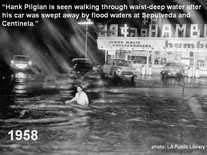
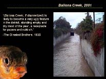
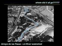
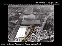
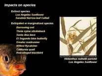
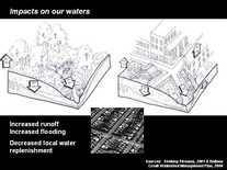
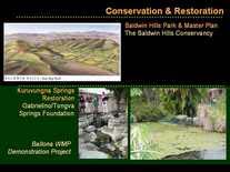
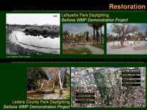
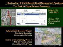
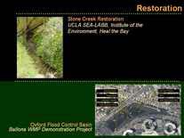
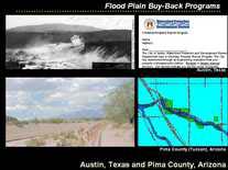
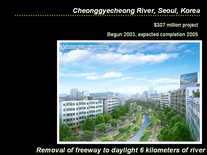
The Ballona Creek Watershed: Past, Present & Future
Courtesy of Author: Jessica Hall, Ballona Creek Watershed Coordinator, SMBRC
Slides Thumbnail Index
To view slide show click on first picture, then on the "next" arrow.
 Jonathan Coffin started out with a borrowed Sony digital camera that used 3.5″ diskettes (remember those?) for storing images and over the last four years he has compiled the most comprehensive catalog of birds, bugs, mammals, lizards, and plants in the Ballona area.


